
Toro Regional Park
E. Ridge to the Peace Sign to Marks Canyon


📍The hike to the “Peace Sign” is another one of our favorite hikes in Toro Regional Park. “Toro Park” is located between the cities of Salinas and Monterey, off Hwy 68. The parks natural setting, 4,750 acres and 20+ miles of hiking and biking trails make make it a perfect location for outdoor activities.
The park has many amenities including parking areas, sports areas, playgrounds, BBQ areas and restroom facilities. Entry into the park is free (currently). Park hours are generally 8AM - half an hour after sunset. This is a safe park to recreate with all ages and is pet friendly. Visit The County of Monterey’s website for more specific information about Toro Park.
⛰ The hike to the “Peace Sign”, described below, is generally a 5 to 5.5 mile out and back hike however there are many trails you can hike to get there and many trails you can hike to get back down. The hike described below will start at the Toro Park Main Gate and take a direct route to the “Peace Sign”. The trail on the way back down will take you out Marks Canyon to the Main Gate. This trail is mostly good walking surfaces, paved road, dirt road and single track trails. It is fairly steep with an elevation gain of about 1100’, so it’s a “Bluish-Black” hike meaning moderate to difficult. It will challenge you but the views are definitely worth it! If you’re not familiar with this trail the Toro Park Trail Map or another navigational device is recommended. It is well travelled so you’ll likely see others using the trail, including mountain bikers so be alert and hike with caution. It will take about 2.5 - 3 hours to complete.

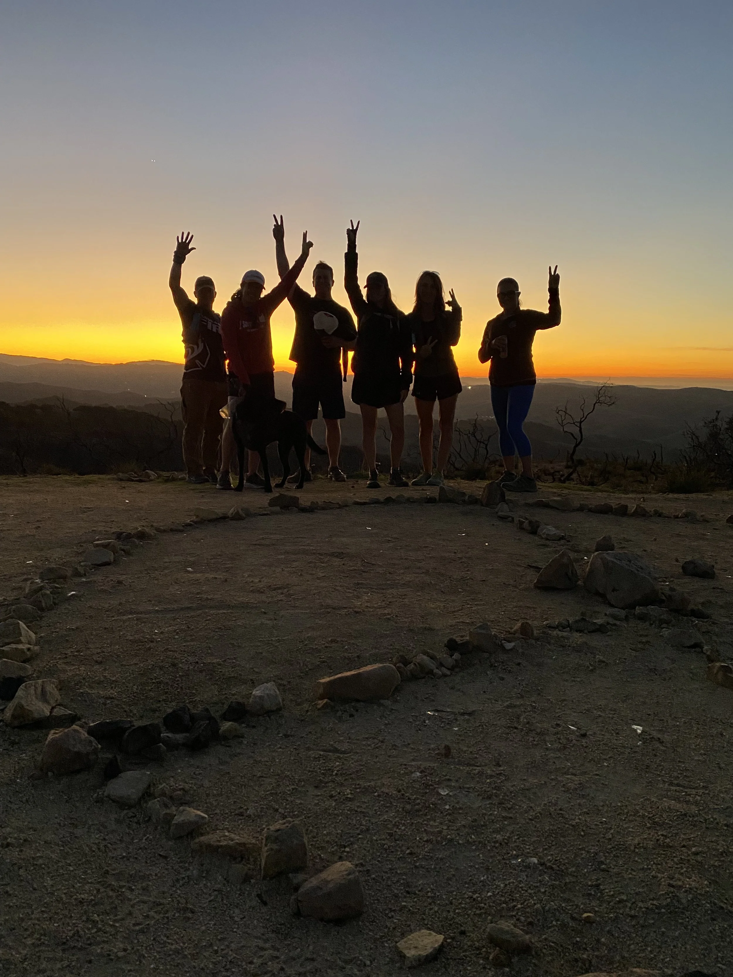
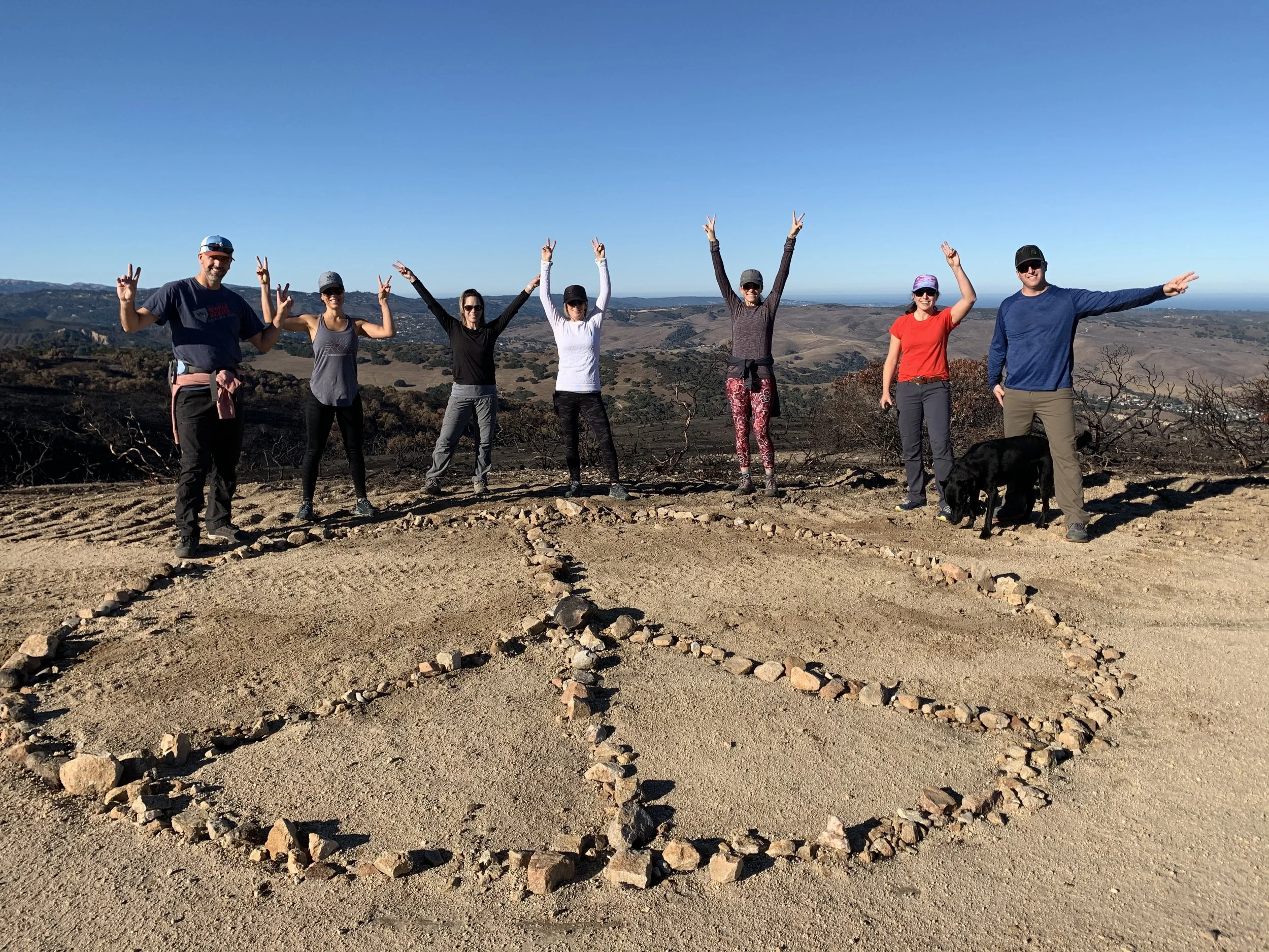
🥾 We refer to this hike as the “Peace Sign” Hike. If you’ve looked at the pictures it’s obvious why we call it that. However, the official trail names are different. This hike starts at the Toro Park Main Gate. Follow the main paved road past the first picnic area on your left, Oak Grove Picnic Area. This is also a good place to park inside the park. Here you’ll find restrooms, and other services you may want to use like trash receptacles and water spouts. Continue on the paved road towards the Buckeye Picnic Area. The Buckeye Picnic area is also another popular picnic area with many amenities, one being a kids park with swings. Immediately adjacent to the swings is the East Ridge Trailhead, a well travelled dirt road that ascends around a few turns and continues up the mountain. Keep following this trail.
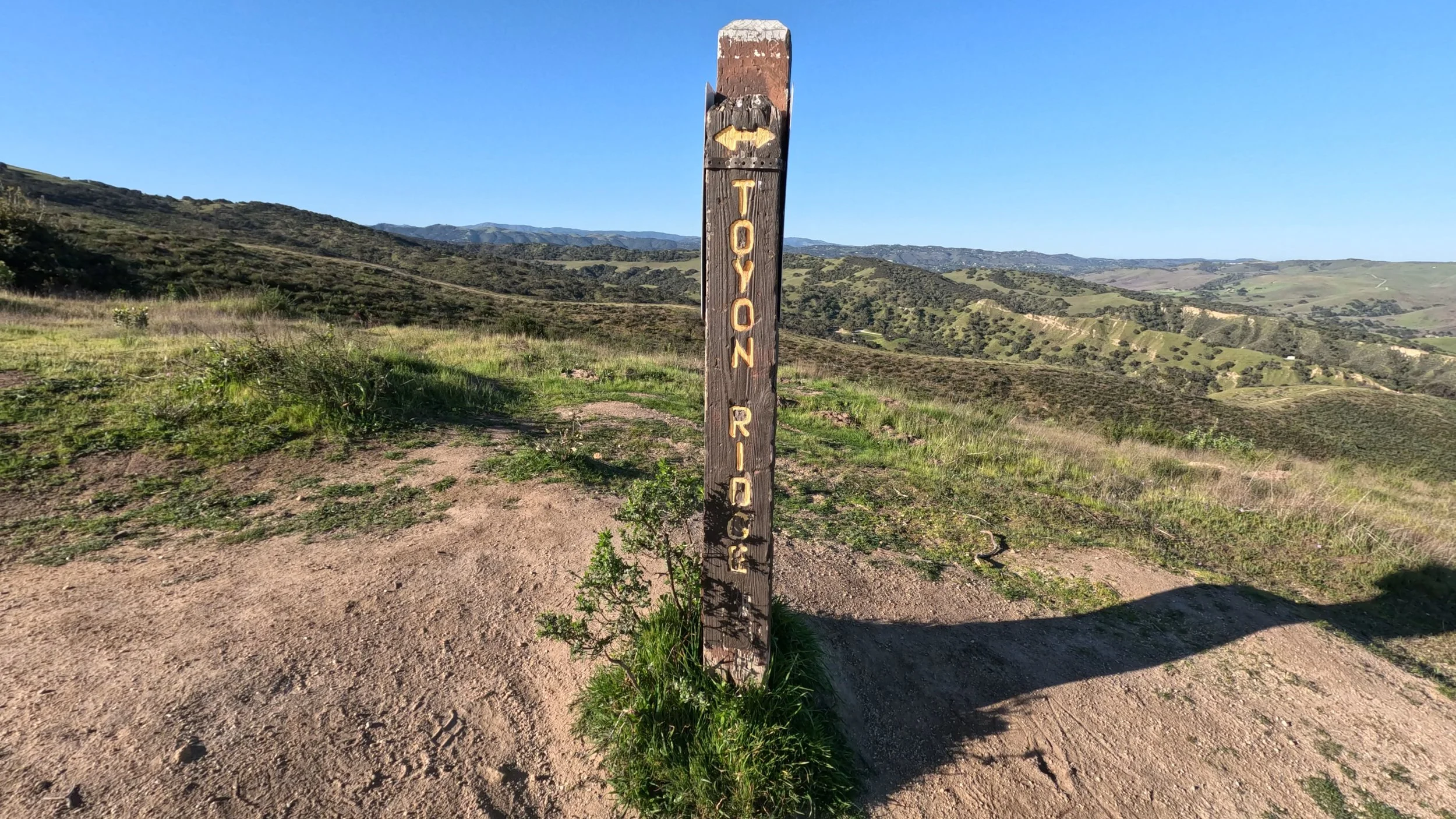
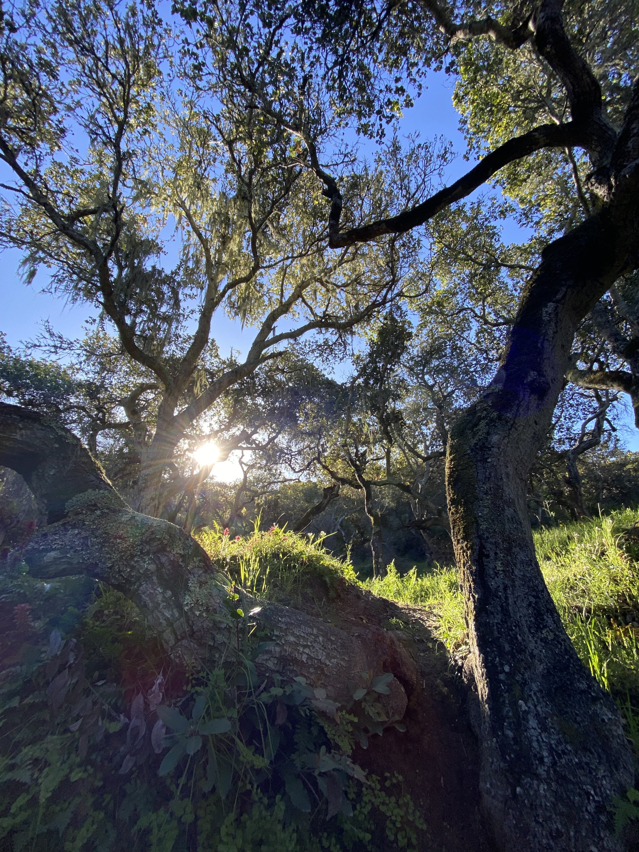
The East Ridge Trail will continue for about 1.2 miles uphill. It has some steep sections and some later sections but make no mistake, you are gaining elevation. Continue up the East Ridge Trail to the intersection of the East Ridge Trail and the Toyon Ridge Trail, clearly marked by a trail post. Follow the Toyon Ridge Trail to the left. Continue uphill.
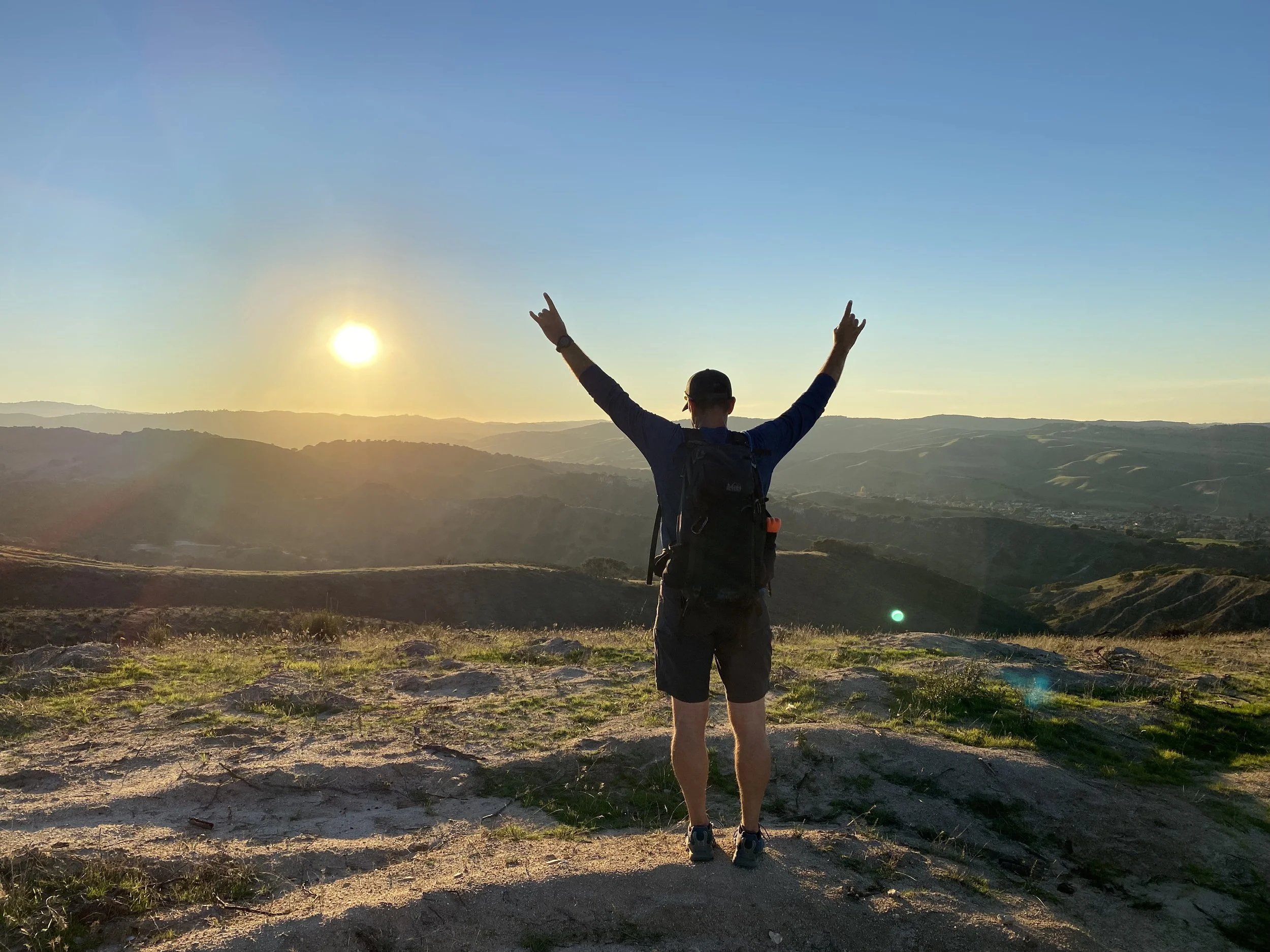
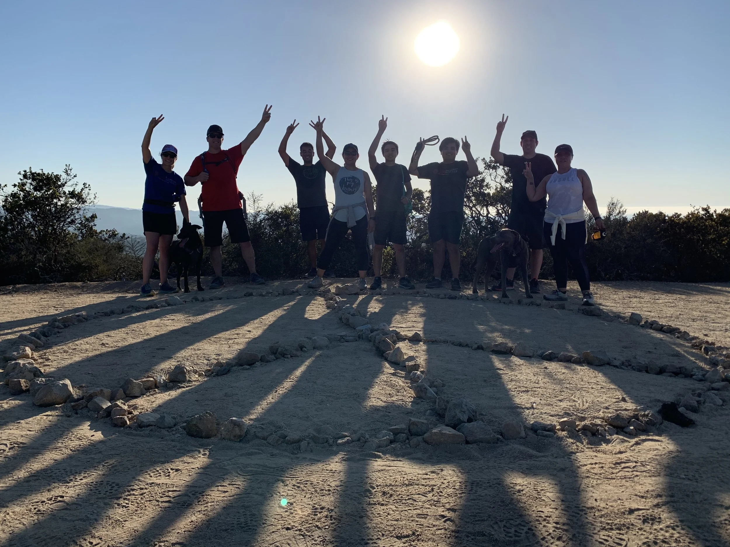
It’s only about 3/4 of a mile but it’s probably the toughest 3/4 of a mile on this hike. You’ll gain approximately 500’ up a steep dirt road. It’s ok to take a break and take in some of the views as they are pretty spectacular. Just as you think you got to the top, there’s one false summit. Pass that and you’ll have completed the climb to the “Peace Sign”, a good landmark, amazing views and the achievement of completing that climb awaits. Take a lot of pictures, catch your breath and prepare your route back down to the start.
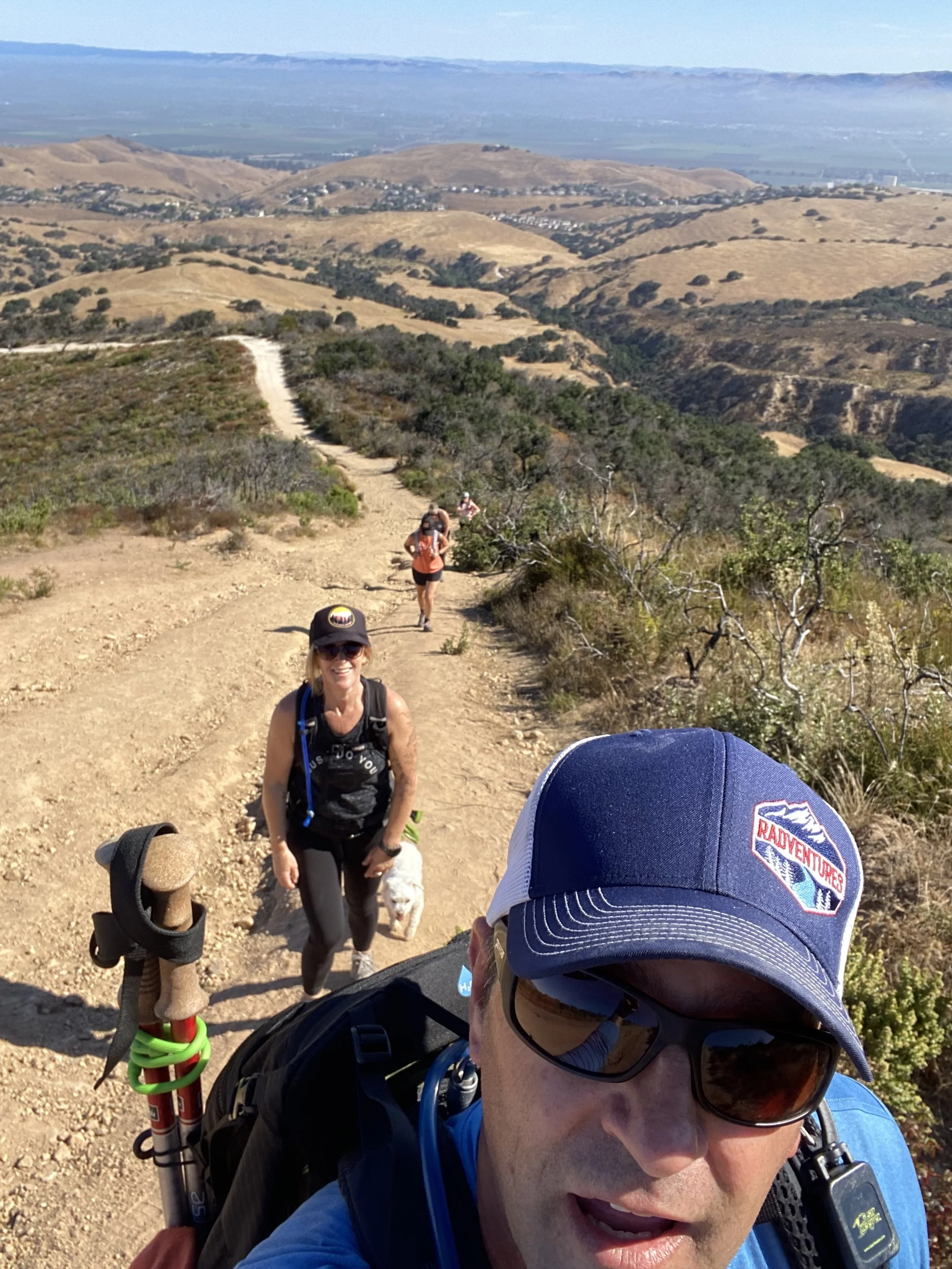
Obviously the quickest way down would be going back down the way you came up, however, it’s steep and slippery and can be a little dangerous. Why risk it. Continue past the Peace Sign, down the opposite side of the hill you came up. Nearby is a junction of trails. Turn left at the East Toyon Trail, a single track trail heading downhill. With beautiful views in front of you be sure to keep an eye on your footing as it can be a little steep and slippery in a few spots but its better than going down the face of the Toyon Ridge Trail. Also, this is a popular trail for mountain bikers so be aware of your surroundings.
Continue down the East Toyon Trail to the junction with the Marks canyon Trail. A GPS device with the trail map may be helpful at this location. You can download this trail map at the link below. Here you can take a left back to the East Ridge Trail and descend the East Ridge pack to the start or you can continue with trail out Marks Canyon.
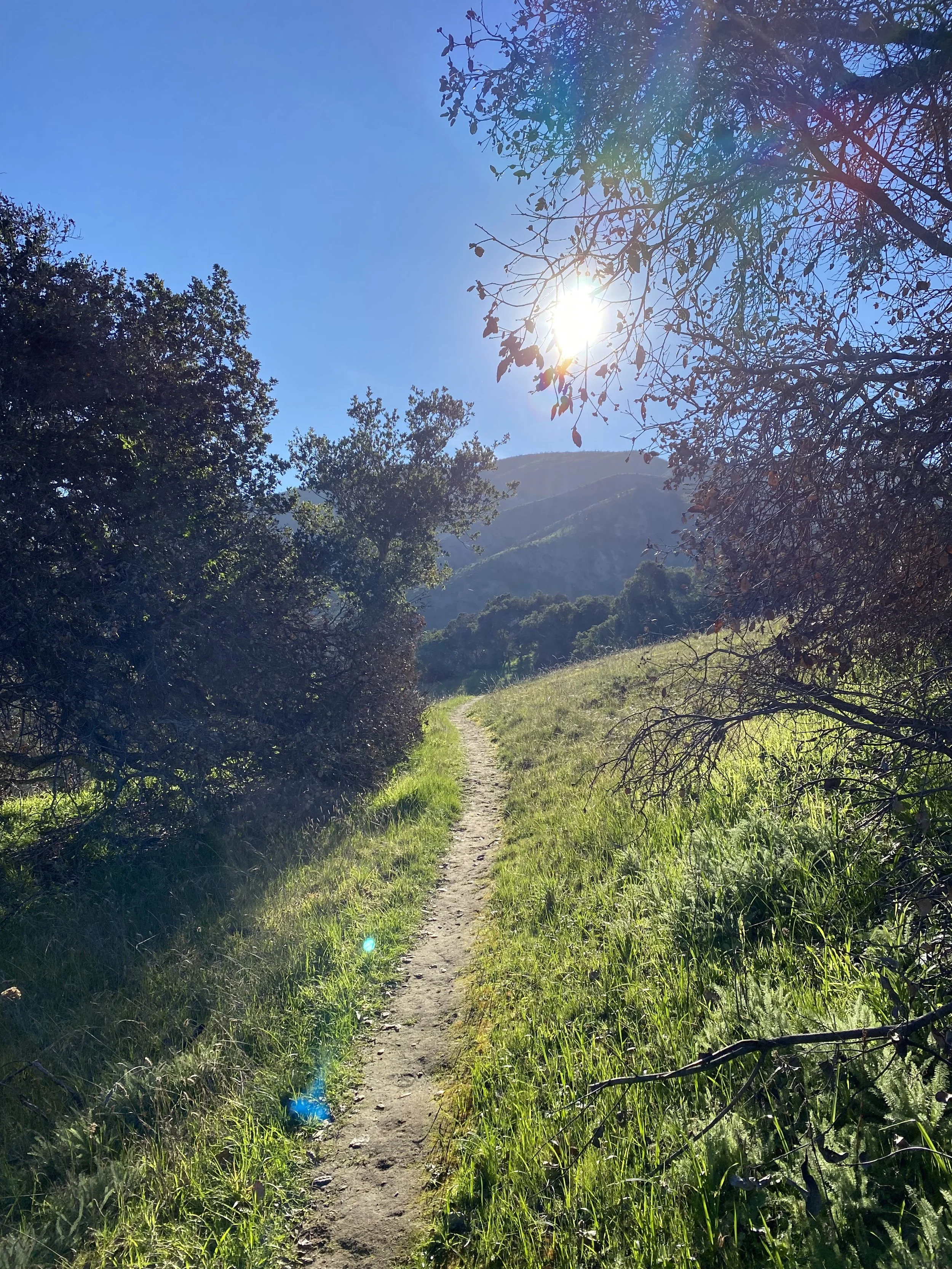
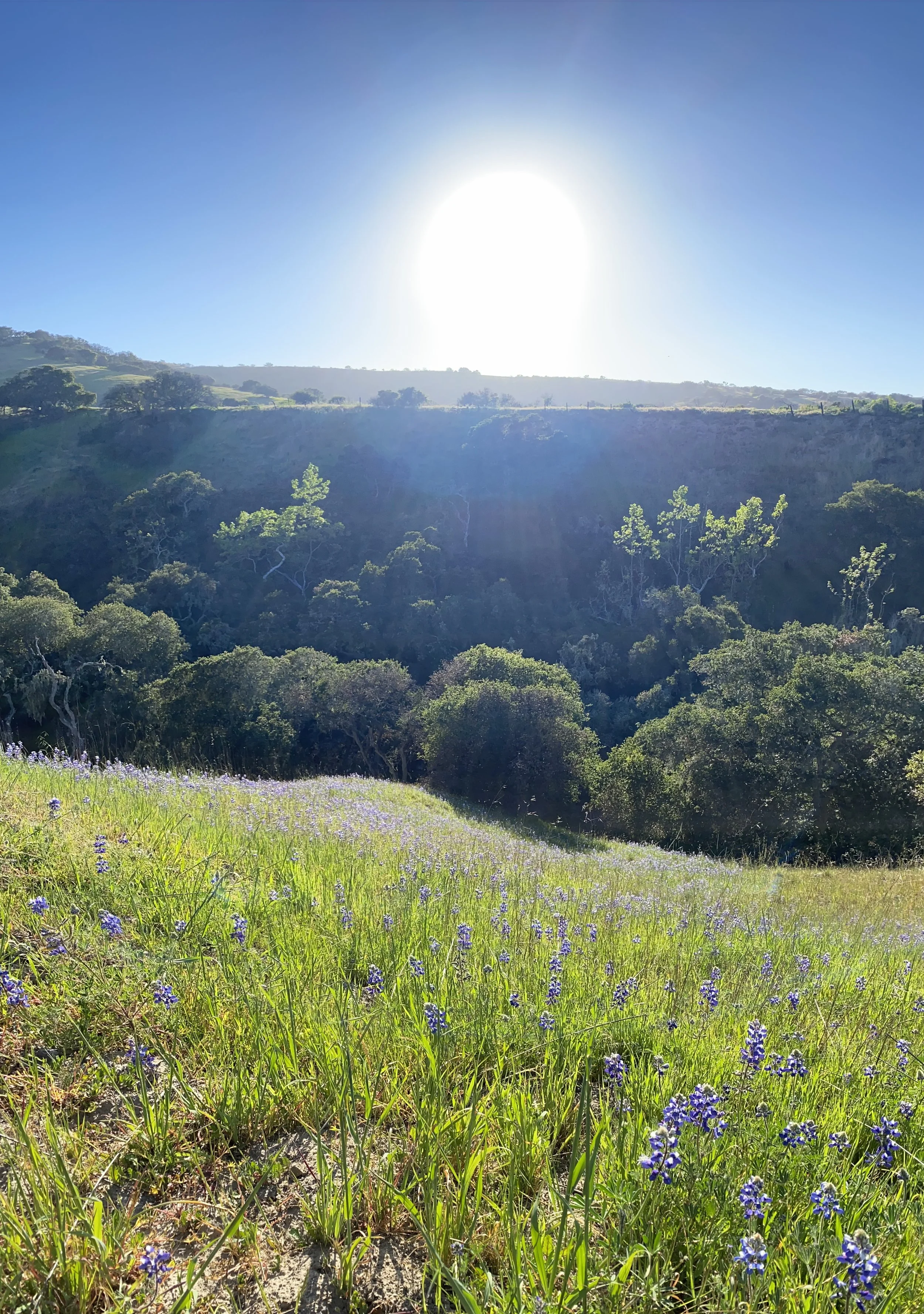
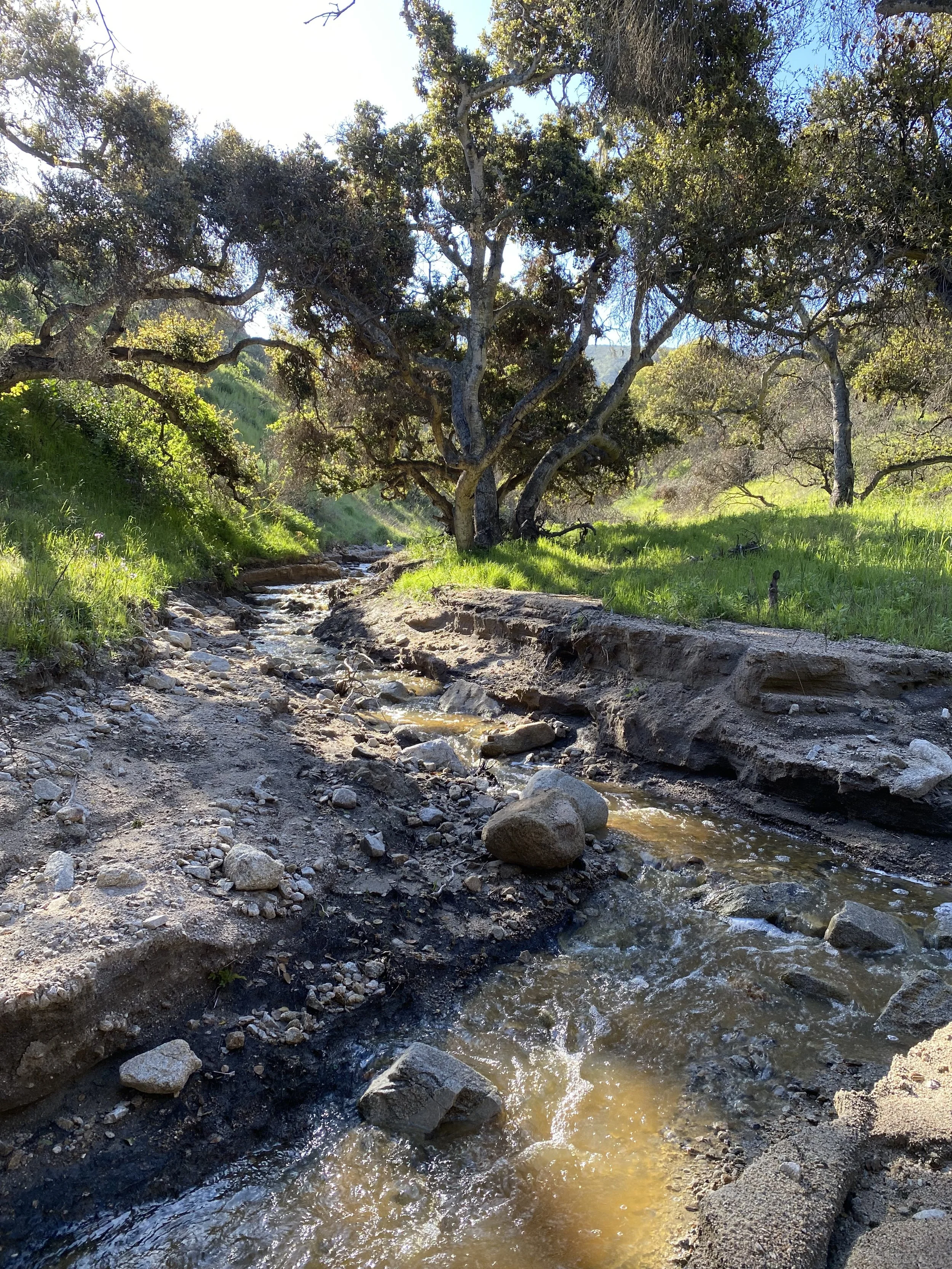
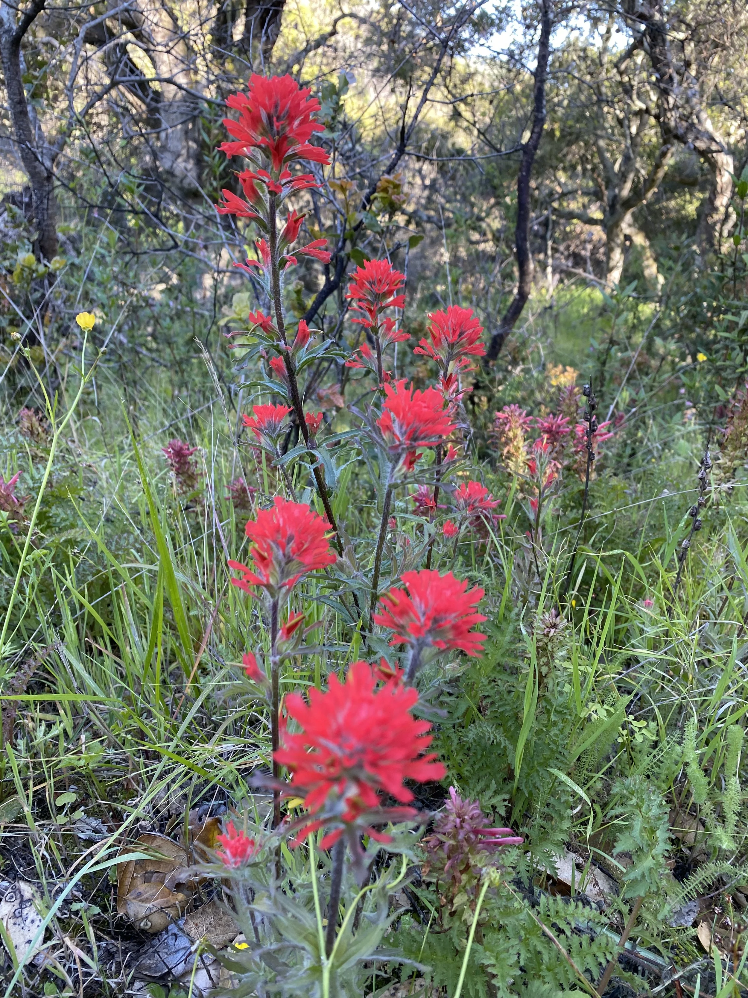
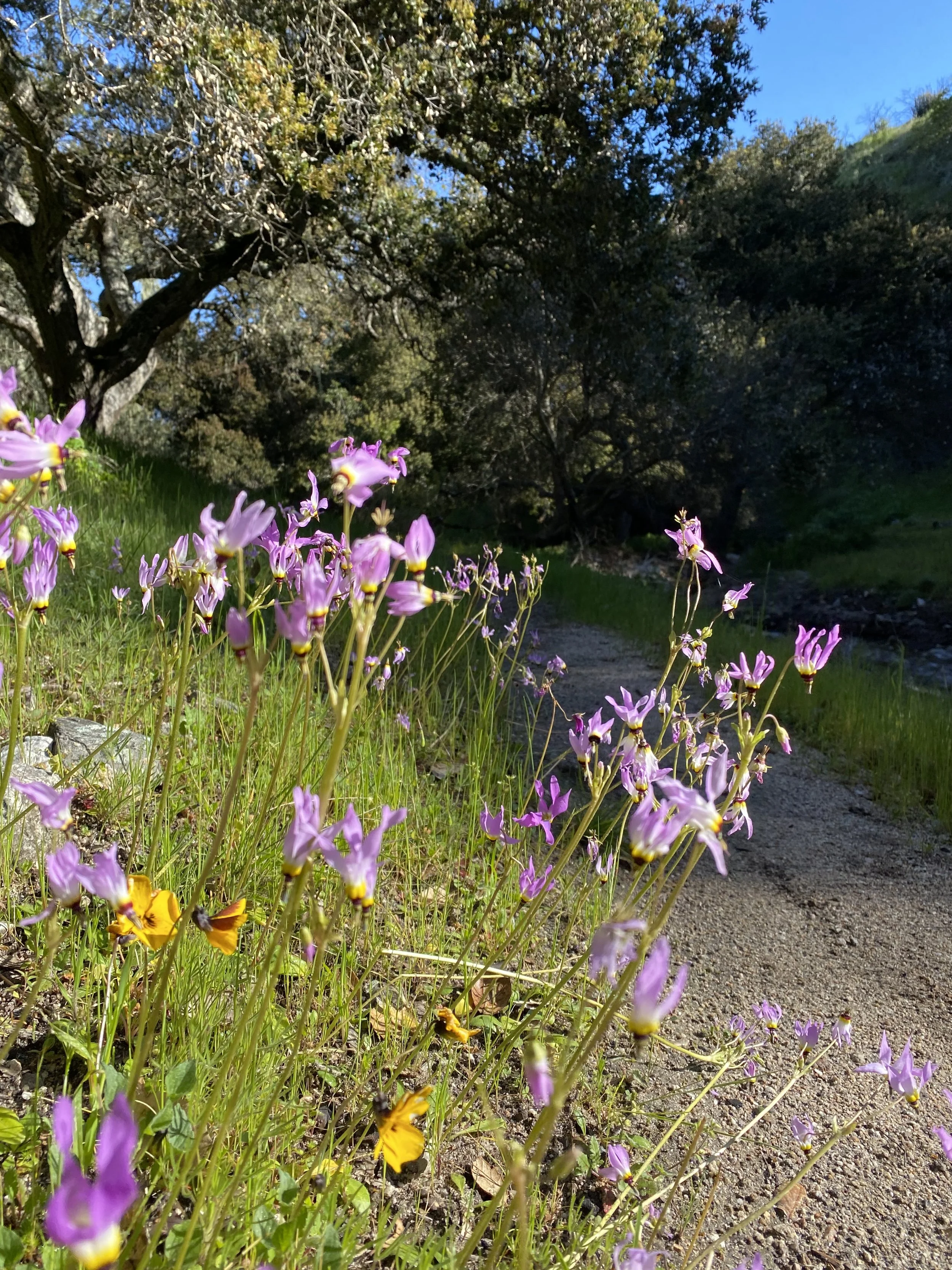
The Marks Canyon Trail is especially beautiful in the spring. The green grasses, wildflowers and flowing creeks make for a hike you won’t see much past May. Marks Canyon is a special place in Spring. Follow the Marks Canyon Trail until you hit the trail junction at the creek. Stay left and continue downhill/downstream.
This section of trail follows the Marks Canyon Creek which exits the canyon at the Toro Park Main gate, where you began. The curvy single track trail is popular for hiking and mountain biking. Keep an eye and ear out for bells, a sign mountain bikers may be coming down trail. This section of trail is also great for looking at the wildflowers, especially in Spring! Follow the single track trail to the green metal cattle gate. Here you’ll cross through the metal cattle gate being sure to close it behind you and start hiking down the dirt road.
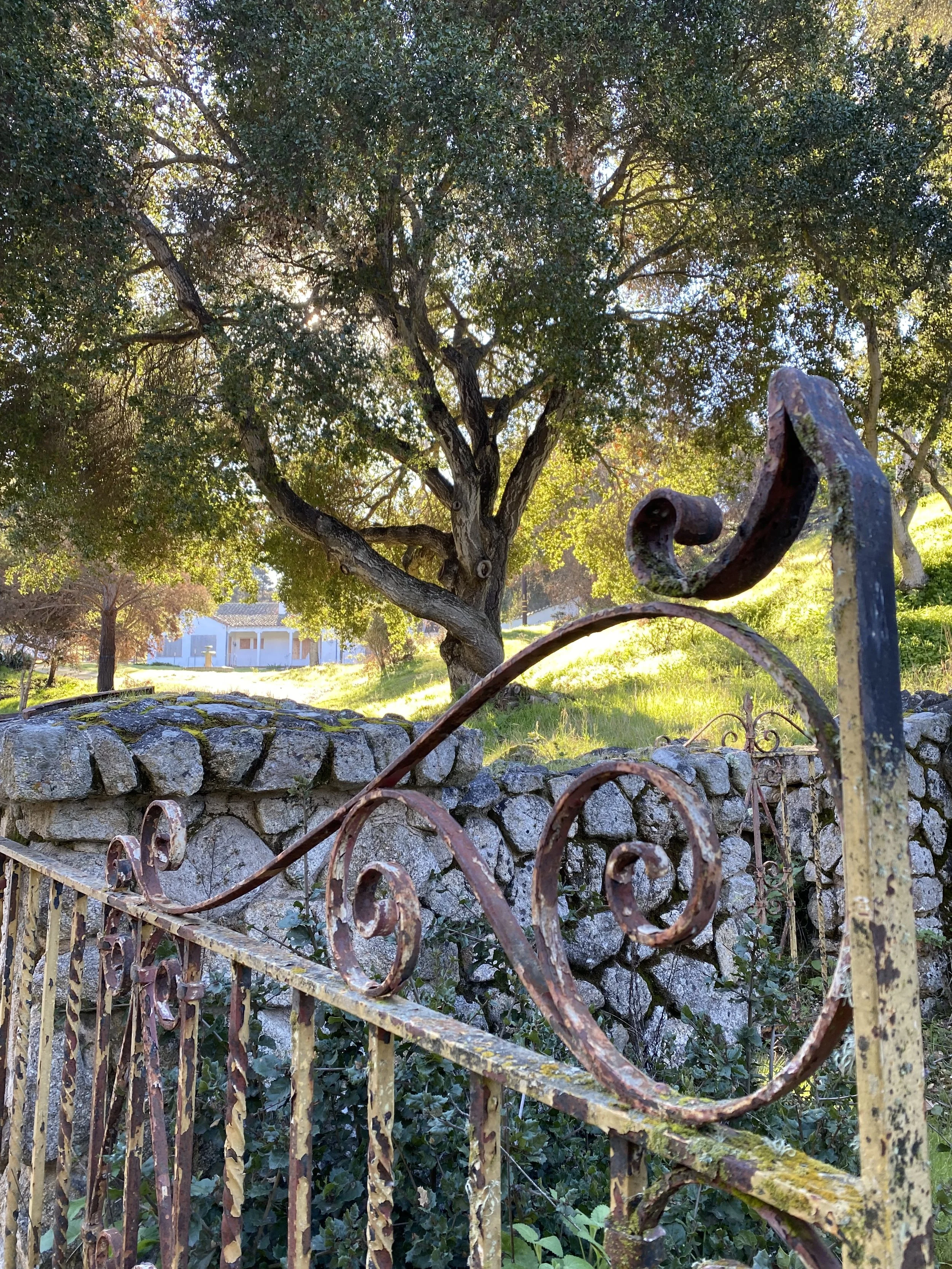
Continue down the canyon and you’ll walk by the Hacienda, a 1920’s Spanish style house, the home to the Marks Family. Rich in history, the Hacienda is a historical landmark, a crucial component in the cultural history of Monterey County. Please do not disturb the Hacienda or its gardens. Leave only footsteps and take only pictures. Continue down canyon to beautiful pastures, some filled with wildflowers and sometimes cattle. A short walk from the Hacienda, you’ll cross through more cattle gates and soon to Portola Road, near the Toro Park Main Gate, your starting point.
☕️🥐/🍔🍺 If you finish early enough and are craving a coffee and pastry head west on Hwy 68 about 2 miles to Castle Rock Cafe & Mercantile, a coffee and gift shop serving local coffees, pastries and goods. If you’d like something more substantial, next door is the Toro Place Cafe, This old school diner serves breakfast and lunch daily and has been voted the Best Breakfast in Monterey County and the Best Waffles Ever! Their Biscuits & Gravy, Huevos Rancheros and Chile Verde Omelette are favorites. If you finish up a little later in the afternoon or evening, directly across Hwy 68 from the park, is Angelinas Pizzeria, a family owned pizzeria that is a locals favorite. Stop in and grab a cold post-hike beer or glass of wine at the bar and try their good Italian food while enjoying the atmosphere. Bring the family! It’s what Angelinas is all about, Family!
Toro Park really does have a lot to offer and the park comes alive in the Spring before the Summer heat dries out the vegetation. It’s a great place to hike for locals and as stated above, the “Peace Sign” is one of our favorite hikes in the park, and the sunsets from the “Peace Sign” are some of the best around! I hope you get a chance to enjoy it.
Check out more “Dirt” on Our Trails for a local hikers perspective on some of the best day-hiking trails Monterey County has to offer.